For the past 5 days we have been driving north along New Zealand's Highway 6 and staying each night in a small town. While spectacular (more on that later), there have been several challenges:
- Driving on the left hand side of the street. Why have we not come up with a global standard for which side of the road to drive on? It not only makes it nerve-wracking to drive, but I also am never certain which side of the sidewalk/trail/stairs to walk down. And, since there are lots of tourists in New Zealand, everyone does it differently which compounds the problem.
- One lane bridges. The vast majority of the bridges on Highway 6 have one lane (not one lane in each direction, but just one lane) which makes for an exciting game of chicken.
- Unusual road signs. My favorite is the exclamation point.

But these two were also great:


4. My fellow passengers' quirks. Grace's obsession with photographs, which means she is always leaning into one of her sibling's space get the right angle for a shot. Kate's singing, for those of you that don't know, my daughter Kate has the tendency to just start singing to herself -- while often a charming trait, it is slightly less charming in the car with four other people. Cannon/George's fiendish delight in bother his sisters and his constant movement. And Kara's control over the one phone (very much like the one ring) that has data plan which allows her to be the final arbiter of all factual disputes.
Highway 6

Other than in Queenstown, there were no traffic lights on the entire route (just roundabouts) and it was always a 2-lane road, except for the one lane bridges described above. We travelled across three distinct segments -- the Southern Alps and mountain lakes, Fox and Franz Josef Glaciers, and the Coast.


Southern Alps
As we crossed over the Southern Alps heading for the west coast, we passed by waterfall after waterfall feeding high mountain lakes that were bright blue (caused by the mica flakes in the schist rock that is so common in the region). There were a number of hikes along the way, we particularly enjoyed the Blue Pools hike that ended at a rock beach where people had built hundreds of cairns.


The Blue Pools was a two mile hike over several suspension bridges (the bridges all have signs limiting the number of people on them which makes George/Cannon very nervous). I keep telling him that there will be many more of these bridges in Nepal and they won't be made this well and they will definitely not have signs limiting the number of people on them.

The Glaciers
On the west side of New Zealand, there are two glaciers that come down to within a few miles of the ocean. It is sort of a bizarre climate for glaciers. The vegetation is almost tropical and the climate is very temperate. There is a crazy amount of rain (12-15 feet per year). The glaciers are in a quick retreat due to climate change but you can still hike to within a kilometer of the bottom of them. We visited one of them, Franz Josef Glacier.


The Coast
The final part of the drive was along the western coast. It was very similar to driving the Pacific Coast Highway in California. The views were incredible and there were miles and miles of beaches and rocky outcroppings. The most spectacular of these were Punakaki Pancakes Rocks and Blowholes and Cape Foulwind (named by Captain Cook after he couldn't sail around it due to the wind rather than by an 11-year old boy).


Punakaki Pancake Rocks and Blowholes. Which given all of the lectures from Kara on geology (we have now resorted in using Geology puns to avoid future continued discussions, "Gneiss fact!"), I know were formed 30 million years ago from fragments of dead marine creatures and plants that landed on the seabed. Immense water pressure caused the fragments to solidify in hard and soft layers. Gradually seismic action lifted the limestone above the seabed. Mildly acidic rain, wind and seawater sculpted the bizarre shapes.


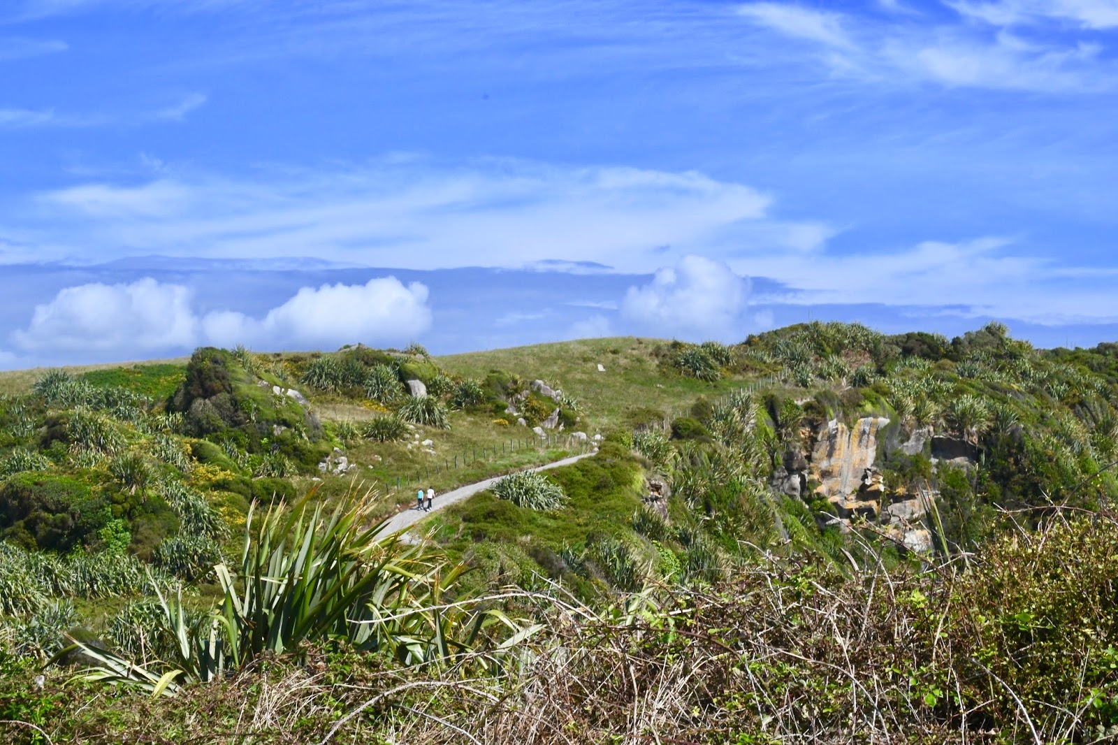
Cape Foulwind. We walked along the trail running out of the point and saw Fur Seals and lots of birds. Allegedly there are penguins as well (as per the sign), but they successfully eluded the Beal family.


That glacier looks awesome! Lois like an amazing drive!
ReplyDeleteDriving can be risky in this area but with South Island campervan Hire you can ensure your safety.
ReplyDelete